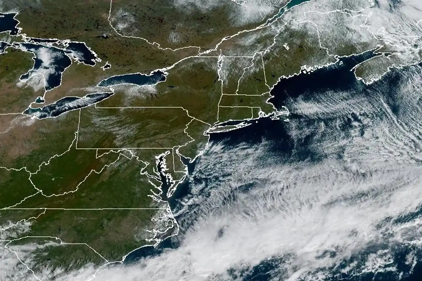
NHC alerts on strengthening storm systems in Atlantic and Pacific


Meteorologists at the U.S. National Hurricane Center (NHC) are closely monitoring two developing storm systems with the potential to become tropical cyclones in the coming days, as the 2025 hurricane season reaches its climatological peak.
One system is gaining strength in the Atlantic Ocean off West Africa, while another is organizing near Mexico’s southwestern coast in the eastern Pacific. The surge in activity coincides with the 20th anniversary of Hurricane Katrina, a stark reminder of the destructive power of tropical storms.
A tropical wave located west of Guinea-Bissau in West Africa is showing increasing organization, with the NHC reporting favorable environmental conditions for development. As of October 11, 2025, the system’s two-day formation chance has risen to 30%, with a 70% likelihood of becoming a tropical depression or storm within seven days. The disturbance is moving westward across the Atlantic at approximately 15 mph.
If the system strengthens into a named storm, it will be called “Gabrielle,” the next name on the 2025 Atlantic hurricane list. According to the NHC, the sixth named storm of the Atlantic season typically forms around August 29, indicating that this year’s activity remains near the historical average despite a quieter start to the season.
Forecasters note that the system’s trajectory could bring it closer to the Lesser Antilles by mid-October, though long-range forecasts remain uncertain. Residents in the Caribbean are advised to monitor updates closely.
In the eastern Pacific, Tropical Storm Kiko has intensified and is now forecast to become a major hurricane by October 13, 2025. As of October 11, Kiko was centered approximately 1,300 miles west-southwest of Baja California’s southern tip, with maximum sustained winds of 80 mph and higher gusts. The NHC projects Kiko could reach Category 3 status with winds exceeding 115 mph by October 14, as it tracks westward between Central America and Hawaii.
While Kiko is expected to remain over open waters, its large swell could generate dangerous surf and rip currents along the coasts of Mexico and Central America in the coming days.
Closer to land, a tropical wave just 100 miles off Mexico’s southwestern coast is rapidly organizing, with the NHC assigning a 90% chance of development into a tropical cyclone within 48 hours as of October 11. If named, the storm will be called “Lorena,” following Kiko on the eastern Pacific storm list.
The system is expected to bring heavy rainfall to coastal and west-central Mexico, with 4 to 8 inches of rain forecast through October 15, potentially causing flash flooding and mudslides in mountainous areas. The NHC has indicated that tropical storm watches or warnings could be issued for parts of Guerrero, Oaxaca, and Baja California Sur as early as October 12 if the system continues to strengthen and approaches land.
This uptick in tropical activity comes as the U.S. commemorates the 20th anniversary of Hurricane Katrina, which struck the Gulf Coast on August 29, 2005. The Category 5 hurricane killed over 1,800 people, caused $125 billion in damage, and exposed vulnerabilities in U.S. disaster preparedness after levee failures flooded New Orleans. The anniversary has prompted renewed discussions about climate resilience, especially as warming sea surface temperatures fuel more intense storms.
September and October mark the peak of hurricane season in both the Atlantic and Pacific basins, driven by warm ocean waters and favorable atmospheric conditions. The NHC is urging coastal communities in Mexico, Central America, and the Caribbean to remain vigilant and stay informed through official updates.
"These systems can evolve quickly,” said Dr. Michael Brennan, director of the NHC. “Residents in potentially affected areas should prepare for heavy rain, strong winds, and possible flooding, even if a storm doesn’t make direct landfall.”
For the latest updates, visit the National Hurricane Center at www.nhc.noaa.gov or follow local meteorological services. As the season intensifies, preparedness remains critical in the face of nature’s unpredictable power. (ILKHA)
LEGAL WARNING: All rights of the published news, photos and videos are reserved by İlke Haber Ajansı Basın Yayın San. Trade A.Ş. Under no circumstances can all or part of the news, photos and videos be used without a written contract or subscription.
The United Nations Office for the Coordination of Humanitarian Affairs (OCHA) reports that nearly 310,000 people have moved from southern to northern Gaza since last Friday, attempting to return to homes devastated by Israeli military operations.
After months of relentless Israeli bombardment, blockade, and humanitarian catastrophe, the people of Gaza are beginning to see a faint glimmer of hope as the United Nations announces new emergency assistance aimed at alleviating the suffering of civilians in the besieged enclave.
The World Health Organization (WHO) has sounded the alarm over the rapidly worsening health crisis in the Gaza Strip, revealing that more than 15,600 patients urgently require medical evacuation for life-saving treatment outside the besieged enclave.
UNRWA Commissioner-General Philippe Lazzarini called for the immediate entry of large-scale humanitarian assistance into Gaza, stressing that the enclave’s reconstruction and peace depend on justice and mutual recognition after years of devastation.